
Directions from DIA
Flying into Denver International and driving up? We’ve got the directions you’re looking for
With only 3 roads and 2 turns on the itinerary, DIA to Steamboat makes for an easy, scenic drive. Here's a few notable places along the way...
DIA: Welcome to Colorful Colorado! The only thing crazier than Denver International Airport's wildly over-budget construction project, is its vast amount of conspiracy theories that spawned since its opening in 1995. Check out all it's myths and legends here for some light reading on your 3.5 hour drive that starts now! Jump on Pena Boulevard towards I-70 - Westbound towards Denver...
Denver: I-70 will zoom you straight through the metro area providing the iconic view of our downtown skyline set against the Rocky Mountain backdrop. At 5,280 feet above sea level, Denver is a good place to stay and acclimate to the altitude if you have an extra night to spare. If not, give your best Mile High salute and head for the hills...
Lookout Mountain: Keep cruising down I-70, and as you pass Lookout Mountain (exit 265), enjoy beautiful views of the front range and spot herds of bison that roam the area. Fittingly, the Buffalo Bill Museum is located here.
Idaho Springs: This old mining town from the Gold Rush era, is a great spot to grab a bite. We suggest Westbound & Down Brewing Company for a burger & a pint. Not hungry? Keep on trucking up I-70...
Eisenhower Tunnel: You are currently driving under the Continental Divide. Cool! It is the longest mountain tunnel & highest point on the Interstate Highway System, and one of the highest vehicular tunnels in the world at an elevation of over 11,000 ft. Try not to get claustrophobic and we'll see you on the other side...
Silverthorne: You are exactly halfway to Steamboat! You'll take the first exit after the Eisenhower Tunnel (exit 205), and make a right onto CO-9 North towards Silverthorne. Recharge at our favorite coffee shop Red Buffalo Café and continue heading North on CO-9...
Kremmling: Pump those breaks! This one-stop-light town is a notable sped trap, home to some long-gone dinosaurs, and the last sign of civilization before you arrive in Steamboat. Top off your tank, take your last (left) turn at the famous stop light onto US-40 W/Park Ave, and haul it for Rabbit Ears...
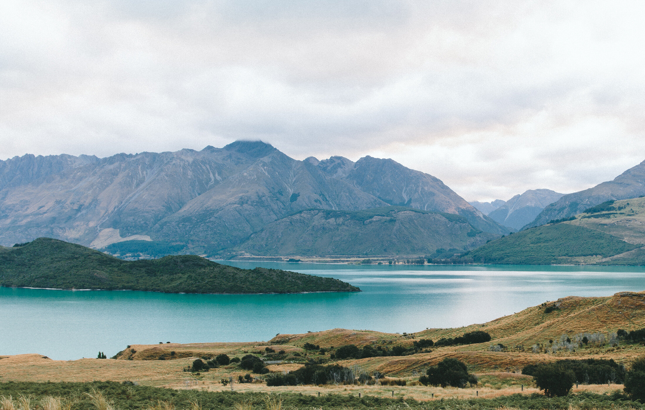
Rabbit Ears Pass: While you cross over the Continental Divide (again!), you'll spot two large volcanic rock formations in the distance (North out your passenger window) that strike a resemblance to a particular cotton tailed mammal that lends this mountain pass it's adorable name. Although it's not the steepest or scariest mountain pass of the Colorado High Country, it is one of the snowiest; with snowpack levels capable of reaching 136". Lucky for you, it's September, so enjoy the drive and peep the turning leaves of the beautiful Aspen groves.
Steamboat Springs: You made it! Welcome to The 'Boat. This spectacular mountain town got it's name from 19th century trappers who, upon hearing a chugging sound, believed a steamboat was coming down the Yampa River. When they discovered the sound was coming from one of the local hot springs the name simply stuck. This is our favorite mountain and you are our favorite people. Thank you for traveling from near & far by plane & by car. We're so happy you're here. Now let's party...